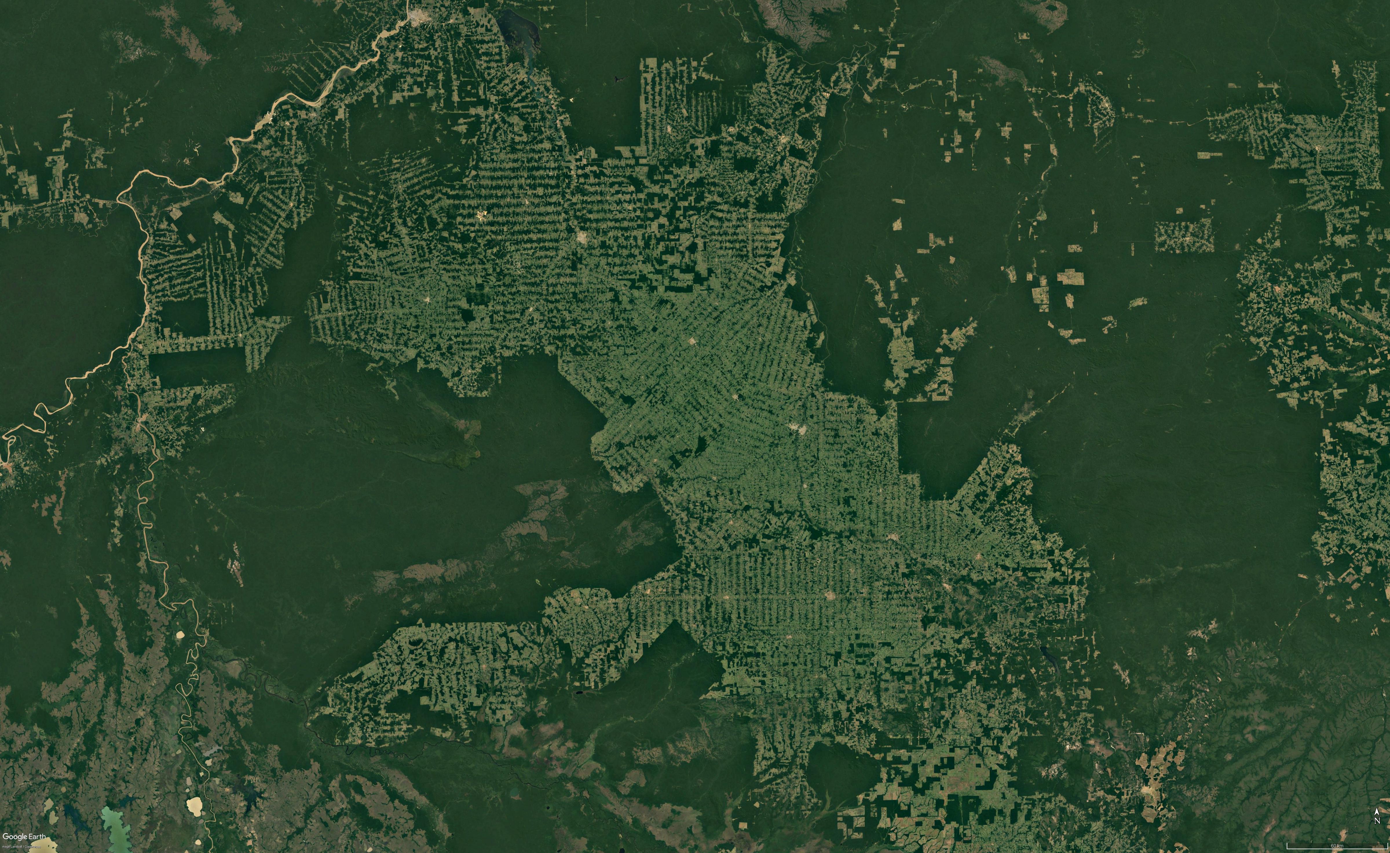
rondônia jpg
(6.08 MB, 4800x2945)
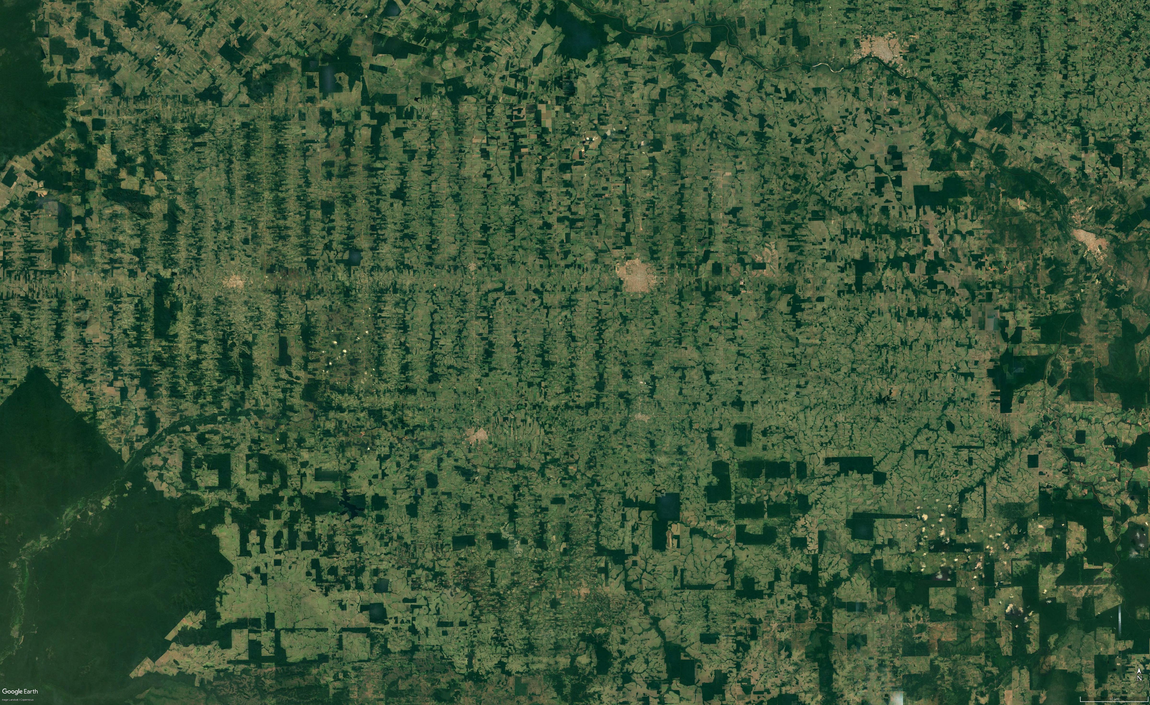
rondônia 2 jpg
(4.92 MB, 4800x2945)
rondônia 3 jpg
(7.16 MB, 4800x2945)
ITT: post interesting sattelite images and what's notable about them.

These are shots from Rondônia state, where human settlement is strikingly clear. Highways -most notably, the BR-364 flowing SE to NE- and their evenly spaced perpendicular side roads flow deep into the jungle, with deforestation, cattle herding, agriculture and urbanization (roughly in this order) following suite. This leaves a light green (mostly composed of pasture) grid dotted with gray points where lines meet, overlaid on a dark green matrix. Few other places have so many clear, sharp edges that can be easily seen from extreme heights.