thumbnail of kuwait-crossroads-01.png
kuwait-crossroads-01 png
(162.07 KB, 1146x863)
thumbnail of kuwait-crossroads-02-south2.png
kuwait-crossroads-02-... png
(72.3 KB, 1051x804)
thumbnail of kuwait-crossroads-03-north.png
kuwait-crossroads-03-... png
(51.38 KB, 836x806)
thumbnail of kuwait-crossroads-04-google.png
kuwait-crossroads-04-... png
(1.08 MB, 1167x841)
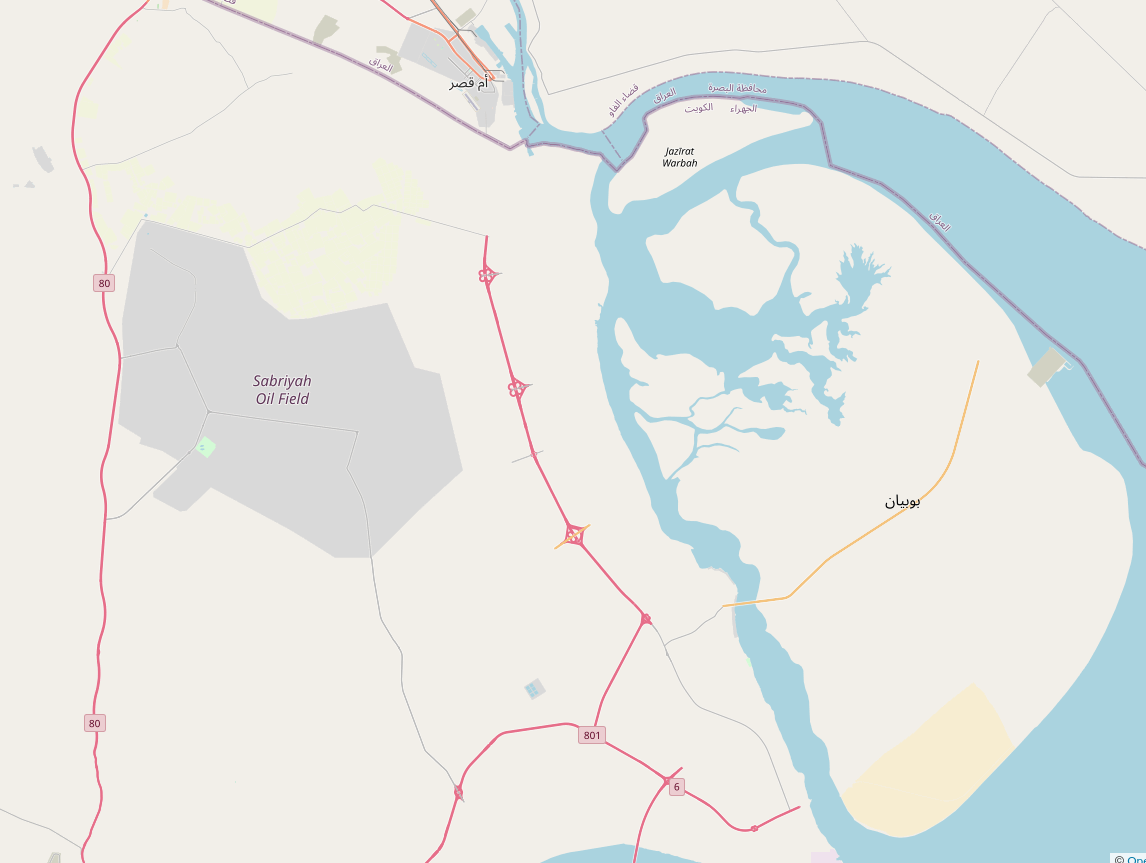
Thanks to Geowizard (specifically to this video: https://invidious.snopyta.org/watch?v=Gs8_imDcII8) I found something.
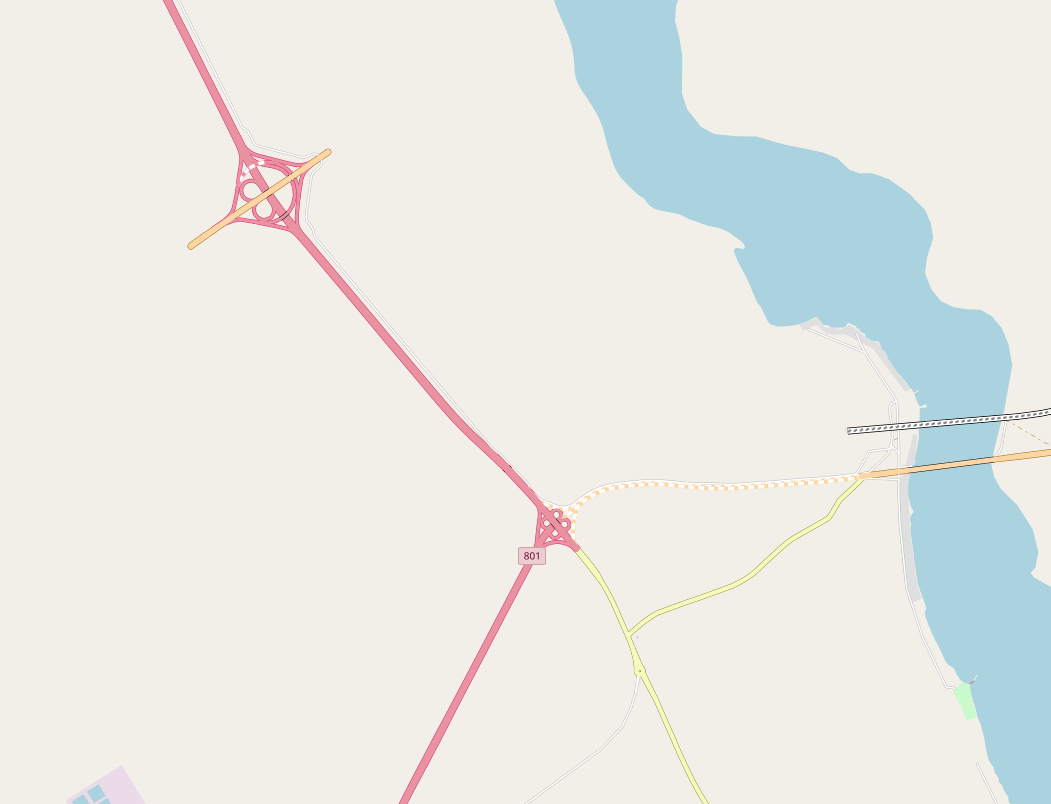
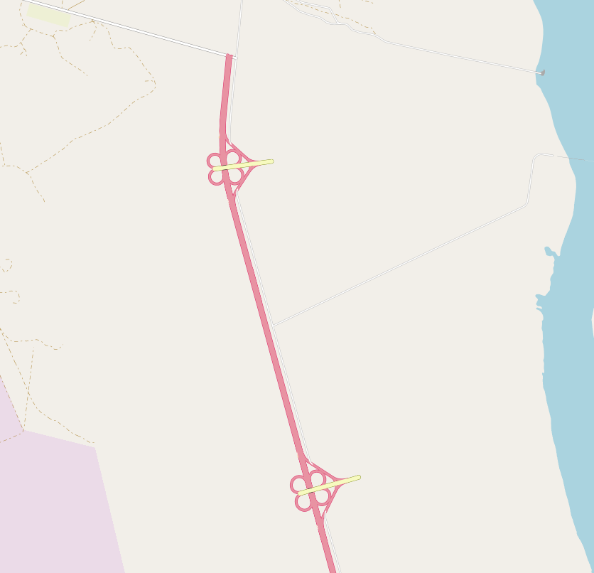
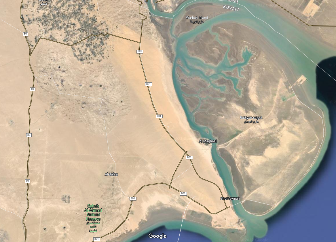
This road is in Kuwait. It seems they planned four crossroads on road 801 in E-W direction. First screenshots from openstreetmap, then google.
I understand the southernmost, which would allow an already existent road to run directly toward a port on that eastern island. But the other three?