Karmazynivka1 png
(1.81 MB, 1848x919)
Karmazynivka3 png
(2.35 MB, 1848x920)
Karmazynivka-topo png
(1.78 MB, 1741x1050)
Karmazynivka-roads png
(394.66 KB, 1918x854)
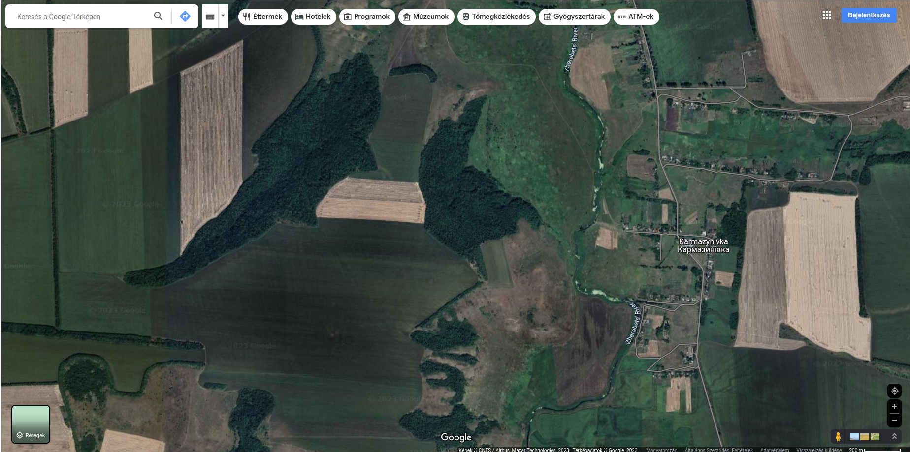
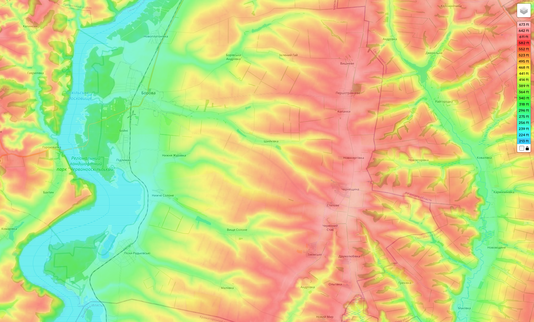
From the valley of the Zherebets Russians entered a wooded area they are here now. Beyond that open fields come with the usual tree lines, and small patches of forests along a ridge line Russians should reach asap if they want to achieve anything. From there, about the region from Novoserhivka to Chernovi Stav they could launch attacks in all directions all around, like they did at Popasna.
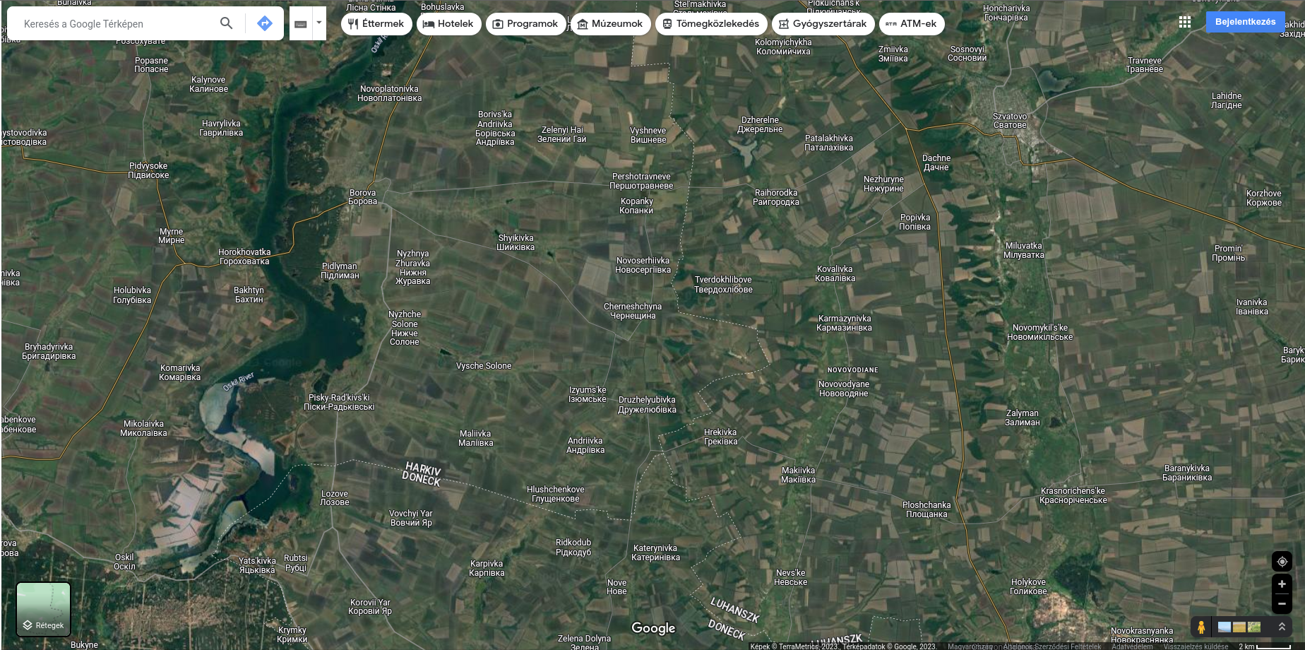
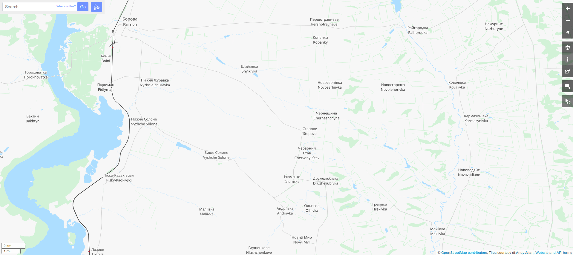
The problem I see is that no roads leading there from the east. There is one to a bit north at Raihorodka, and to a bit south at Makiivka, but right at where the Russians attack. So from the aforementioned grouping point they have to strike one of the directions, to north or south - or both -, to acquire those roads, and attack at the end of those roads at Raihorodka or Makiivka at the same time. That could force the Ukrainians to retreat from those positions and establish a lifeline into the freshly created bulge.
And then develop the breakthrough on.
This ought to be interesting.