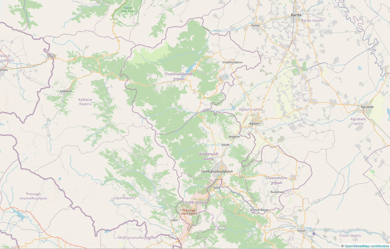
So here's the answer why nothing is conducted in the north and the west.
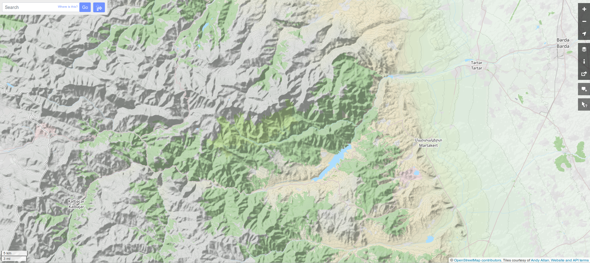
There are virtually no roads, just mountain ranges. In the west there are some minor roads in the valleys as the ranges run east-west, but they don't look serviceable for military operations, or at least easily blocked and defended by minor forces.
What easily accessible is:
- in the NE, the town of Martakert;
- in the SE, the town of Martuni;
The open ways into Artsakh are:
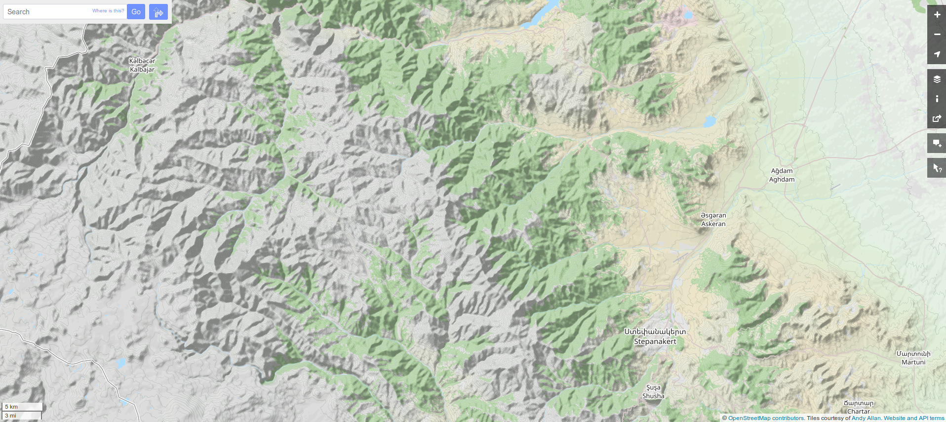
- in the S, from Susha to Stepanakert
- in the center E, from Aghdam to Stepanakert
- in the NW, from Charektar to Gatevan
- in the NE, from Martakert to a bunch of tiny settlements in the center of the region.